Gillan Ropero, ABS-CBN News
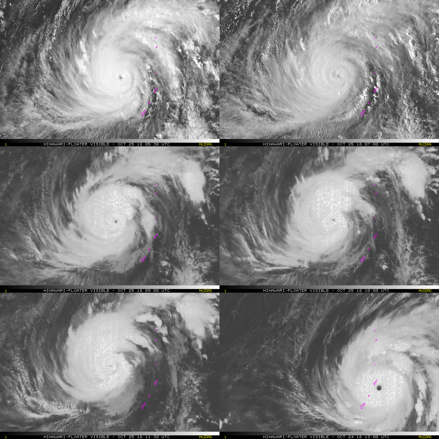
MANILA - Typhoon Yutu weakened on Thursday evening as it continues to approach the Philippine area of responsibility.
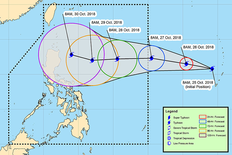
PAGASA weather forecaster Gener Quitlong said the typhoon was last spotted 2,230 kilometers east of Central Luzon (outside PAR) as of 8 p.m.
It is now packing maximum sustained winds of 185 km per hour from 210 kph at 4 p.m, and gusts of up to 225 kph from 260 kph.
The typhoon, which will be named Rosita, is forecast to enter PAR by Saturday morning if it continues to move west at 15 kph.
According to ABS-CBN resident meteorologist Nilo Millanes, Yutu is considered as a "violent typhoon" by the Japan Meteorological Agency (JMA).
A violent typhoon is the highest category on the agency’s scale, with its strength of 215 kph near the center and gustiness of 305 kph
The Joint Typhoon Warning Center (JTWC), meanwhile, categorized Yutu as a supertyphoon, with a strength of 270 kph and gusts reaching up to 325 kph.
Yutu slammed into US Western Pacific territories on Wednesday. It was the second major typhoon to hit the islands after Mangkhut struck in September, bringing strong winds and rains that caused damage in Hong Kong and Macau and triggered landslides that killed dozens in the Philippines.
Millanes said the probability of the typhoon to make landfall in Northern Cagayan, Philippines is low as of posting time due to the wide spread in the forecast tracks after the 72-hour forecast time.

